
https://j.people.com.cn/n3/2026/1103/c95952-20515146.html
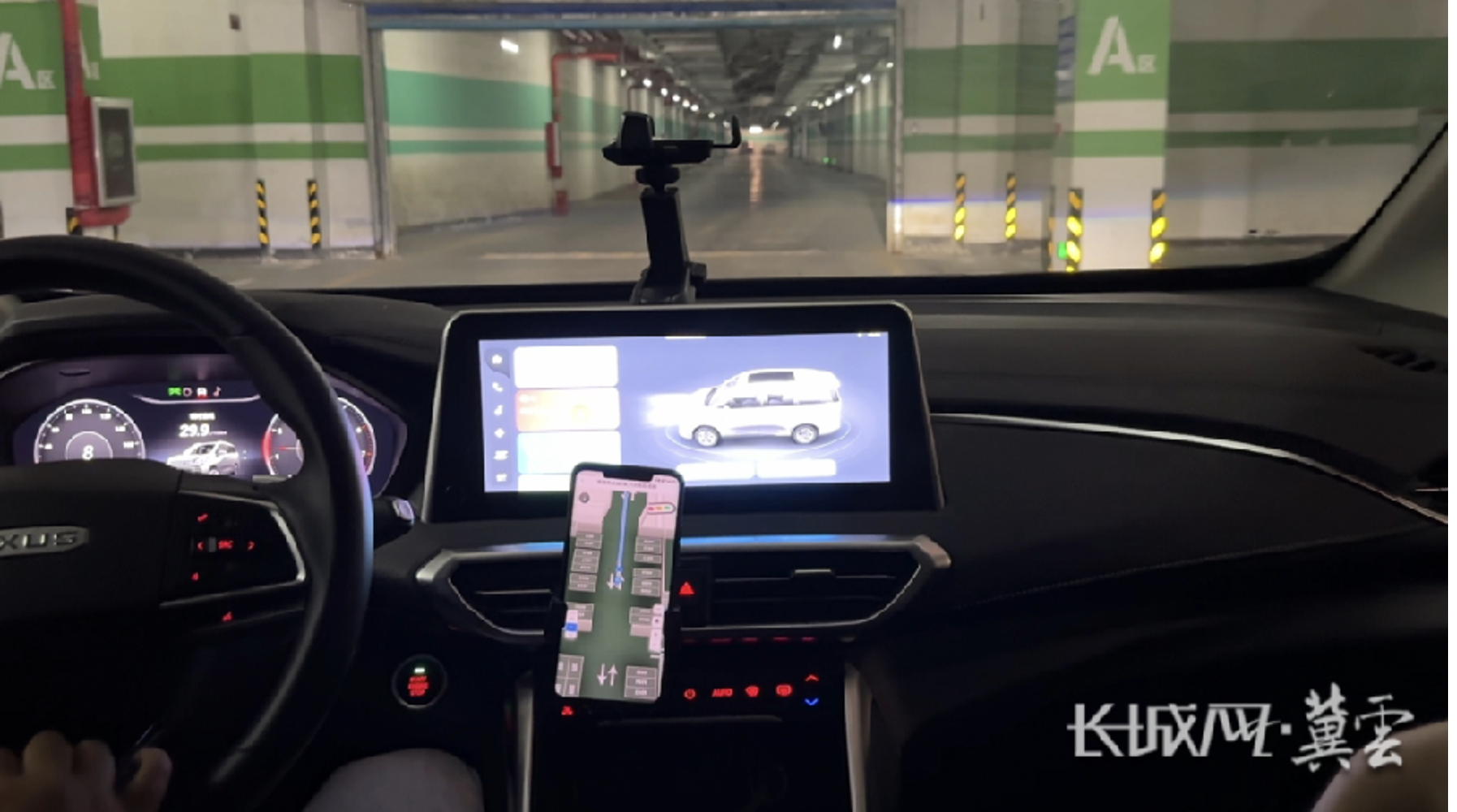
Upon arriving by car at the underground parking garage of the Xiong’an Science Park in the Xiong’an New Area, Hebei Province, Chen Chong—an engineer at the Network Communication Research Institute of the China Electronics Technology Group Corporation (CETC)—opened the “Xingyuan Navigation” app and tapped “Park.” Instantly, he could see the total number of parking spaces, the number of available spots, and their precise locations. After selecting a space, the navigation system provided seamless guidance from above ground into the underground facility, directing him through entrances, ramps, and intersections all the way to his chosen spot. “I no longer have to drive around aimlessly in underground parking garages,” Chen remarked. “By following the navigation, I can see the status of parking spaces on every level at a glance. If a space happens to be taken while I’m on my way, the system immediately identifies a new available spot.” (Reported by People’s Daily)
The smart navigation service for underground parking garages experienced by Chen is powered by the “Xingyuan” BeiDou micro-base station underground positioning and navigation system, developed by a team at the State Key Laboratory of Integrated PNT (Positioning, Navigation, and Timing) Network and Equipment Technology, part of the Network Communication Research Institute.
According to Wei Baoguo, the laboratory director and project lead, the team installed BeiDou micro-base stations within the underground parking garage to broadcast BeiDou signals. This achievement represents a breakthrough in positioning and navigation technology, enabling the creation of a smart network that seamlessly connects above-ground and underground spaces. As a result, standard smartphones can now be used for positioning and navigation even in underground environments. In the Xiong’an New Area, the development of underground space has become a key focus of “smart” infrastructure, demanding exceptionally high levels of precision, processing capacity, and automation for positioning and navigation technologies. The “Xingyuan” BeiDou micro-base station system for underground positioning and navigation now enables capabilities such as personnel patrol monitoring, management of group operations, and autonomous logistics.
If a patrol worker enters a hazardous zone, an alert is promptly issued from the backend system. Furthermore, autonomous transport vehicles can navigate reliably and come to a precise stop, even in underground passages where satellite signals cannot reach. Mr. Chen explains, “According to empirical data from this proprietary underground positioning and navigation system, static positioning accuracy for individuals in underground spaces is better than 0.2 meters, while high-speed autonomous vehicles can achieve stable, sub-meter-level navigation.”
The primary challenge hindering underground positioning and navigation is the inability to clearly monitor signal conditions or take accurate measurements. The team has developed a unique channel-modeling method based on “digital twins,” which combines real-time online data collection with offline model optimization. This approach functions much like modern weather forecasting: the frontline environment acts like a “weather satellite,” sensing changes in real time, while the backend—functioning as a “forecasting center”—processes long-term accumulated data through iterative calculations to refine the model. If the underground environment changes, the model can be adjusted accordingly.
At the core of this technology lies the creation of an “underground wireless environment map.” Much like a weather map, it provides a visual representation of signal strength—showing where signals are strong or weak, the direction from which they propagate, and the time required for them to reach a given point. Mr. Wei explains, “By utilizing this map, it becomes possible to observe, predict, and estimate wireless signals—signals that were previously invisible and intangible. Consequently, this provides a highly reliable foundation for positioning and navigation in underground spaces, fundamentally resolving the challenge of being unable to clearly grasp or accurately measure signal conditions.”